


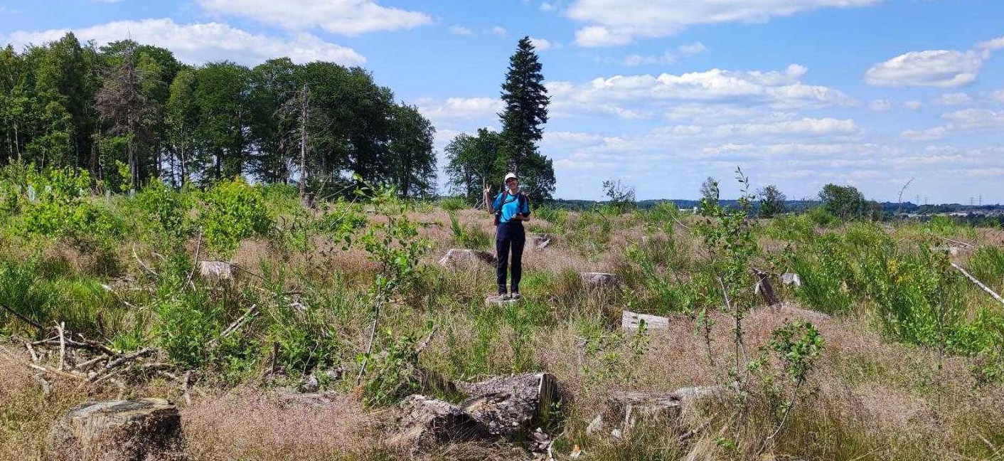
Welcome! I’m Alba, curious geographer who loves connecting dots across ecosystems and climate using the power of Earth Observation and Artificial Intelligence. Growing up in Galicia, one of Europe’s most fire-prone regions, sparked my interest in the role of fire in shaping ecosystems, from its ecological impacts and human management to post-fire recovery.
Working at the interface of Earth Observation, fire, and landscape ecology, I use remote sensing to travel back in time: learn from the past to better understand the present and improve projections to the future. My research focuses on how forest ecosystems respond to disturbances across space and time, developing remote sensing-based products combined with spatial analysis and modelling. From regional to continental scales, connecting ground data with satellite and airborne observations to explore the complex interactions between fire, land-use change, and climate warming.
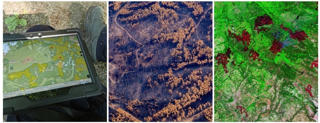


Not a map, but a beautiful Landsat false-color composite for summer 2024 (own created, data source USGS)
Work in progress!

